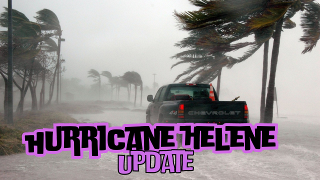
Tropical Storm Helene is getting stronger and it’s expecting to reach category 3 hurricane before landfall in Florida on late Thursday or Thursday night.

According to the National Hurricane Center winds can reach 120 mph in the next 36 hours, according to AccuWeathers forecasting the winds will be stronger between 130 mph and 150 mph (category 4).
Hurricane Helene (Cat 3 expected) is tracking like a bowling ball for the panhandle, but will affect all of the Gulf Coast of Florida.
— floridanow1 (@floridanow1) September 25, 2024
Storm offshore still affects major cities:
Winds in Tampa area 50-70mph
Storm surge in Tampa area will be 5-8ft pic.twitter.com/A2kblI1qs1
“Everyone along the Florida Panhandle and Big Bend region needs to be prepared for hurricane impacts,” said AccuWeather Lead Hurricane Expert Alex DaSilva, adding the system has the potential to become the strongest hurricane landfall in the U.S. so far this season.
“AccuWeather expert meteorologists expect this to be a highly impactful storm,” AccuWeather Chief Meteorologist Jon Porter said. “This could be the storm that the 2024 hurricane season is remembered for.”
Helene is a huge storm, don’t concentrate just to the eye, it will effect not just Florida!
“The Tampa Bay region is extremely vulnerable to storm surge. If this storm tracks any farther west, we could end up dealing with a serious storm surge and flooding problems in Tampa,” AccuWeather lead hurricane expert Alex DaSilva predicted.
Due to the approaching Hurricane Helene, Florida Governor Ron DeSantis has extended the previously declared state of emergency to 61 of 67 counties — AccuWeather
— Voice of the innocent (@AliBukhari10043) September 25, 2024
"Now is the time to make an emergency plan, know your evacuation zone and be as prepared as possible for the storm. pic.twitter.com/XIm46uS2L7
0 Comments